To VIS or not to VIS?
Hosted by Phil Marsh, UK Sales Manager - Reality Capture at Leica Geosystems, and Nicolette Beggache, HDS UK&I Technical Support & Trainer
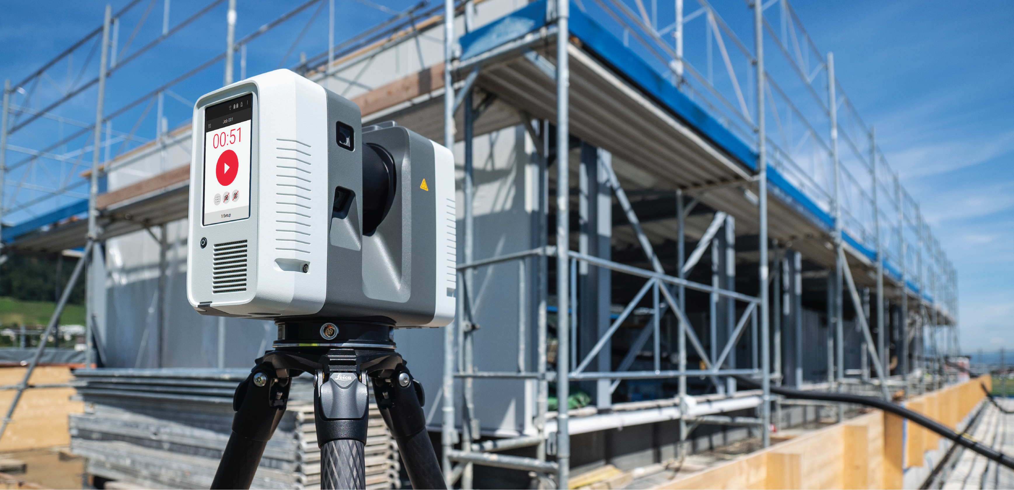
In 2018, we announced the ground-breaking 3D Reality Capture solution – combining the portable and highly-automated Leica RTC360 3D laser scanner, Leica Cyclone FIELD 360 mobile-device app and Leica Cyclone REGISTER 360 post-processing office software. Since the announcement, the RTC360 laser scanner has been a tremendous success and has revolutionised customer workflows, increasing productivity with ultra-fast speed-scanning and in-field point cloud visualisation. At INTERGEO 2019, we expanded the 3D Reality Capture solution and introduced the Leica RTC360 LT – a lighter version of the RTC360. When comparing the RTC360 laser scanners side by side, they look very similar. However, there are key differences.
Join us as we explore these differences and answer any questions you may have about the next generation of Reality Capture solutions from Leica Geosystems.
- Leica RTC360 LT 3D Laser Scanner
Click Here to download the RTC360 LT Data Sheet

